
| Coordinates: | 56°56'43,16'' N
24°10'14,84'' E
Google Maps (localisation not exact, possible mistake up to 150 metres) |
| No: | 68 (list of all monuments) |
| Category: | Palaces and manor houses |
| Address: | Riga, Darzciems, in the area of Lacumuiza market or next to it |
| Versions of name: | Bärenhof / Morgenstern |
| Year of construction: | 17th c.? |
| Condition: | Does not exist |
| Value: | Architecture |
Manor house has not been preserved. In the work of J.C.Brotzes (2., p.79.), in the map from 1700 there is shown this manor under the name "Morgensterns Hof", next to it shown line of Polish troops.
Images
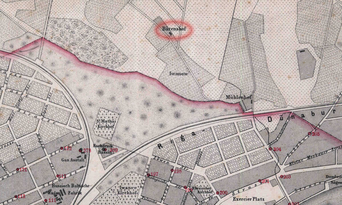
Janmuiza in Riga map. 1876.
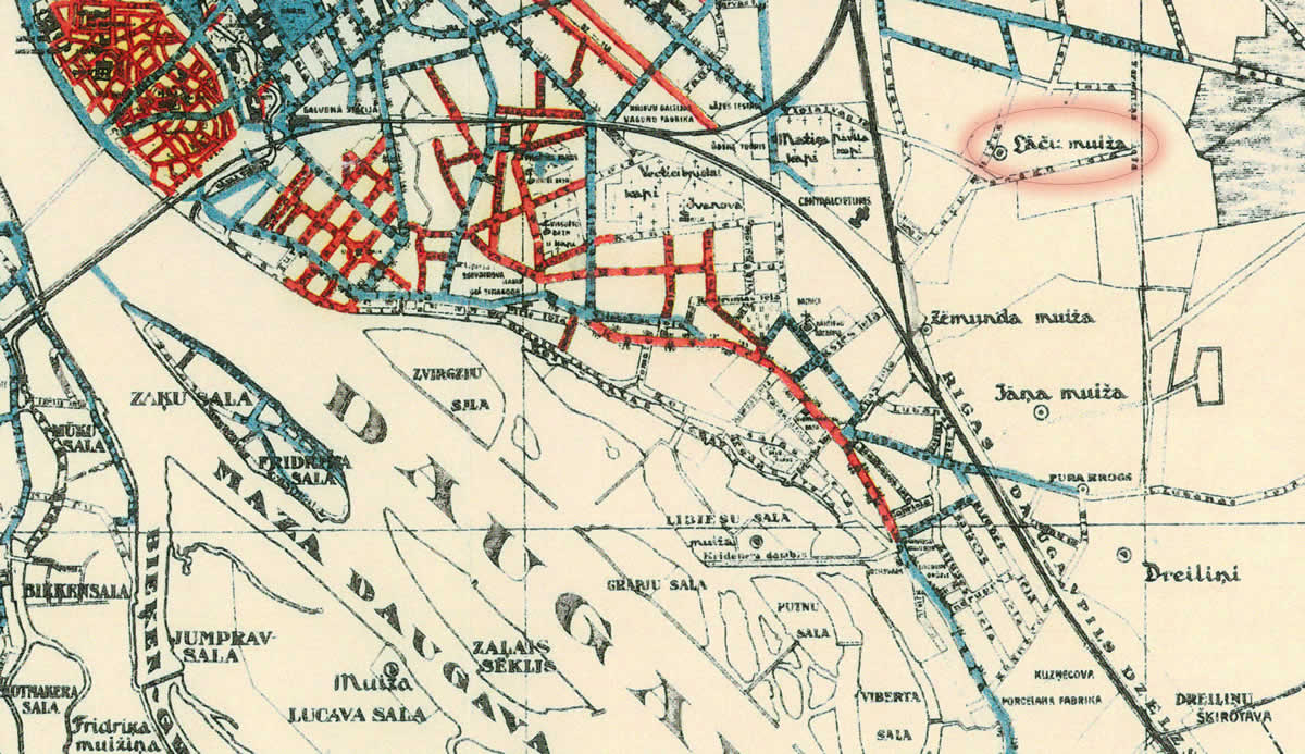
Janmuiza in Riga map. 1930.
References
- Kaupuža D. Rīgas muižiņas. Latvijas architektūra, Rīga, 2005, p.95.
- Broce J.K. Zīmējumi un apraksti, 2.sējums, Rīga, Zinātne, 1996, p.79.
- Rīgas plāns, 1:50 000, Ielu apgaismošana, 1930.g.
- Plan der Gouvernements Stadt Riga nebst Umgebung, R.Stegman, 1876